The year started off cold, and then we had two months of
snow, but it was still a great year for paddling. I did a few less trips this year (53) than I have done in the
past (average for last 6 years is 57), but I did paddle a few new rivers including the Souhegan, Pemi Bristol,
Mongaup, and the Pemi from Woodstock to Campton. I also did a few less RICKA trips, but I did lead trips on
the Assabet and Lower Deerfield, and helped out with the Flatwater Training
and the Picnic. I seemed to paddle a lot more with the AMC this year – CT,
NH and even Boston. Here are some
of the more significant trips:
- January – New Years Day at Tville
- February - Pawtuxet Cove to Gaspee Point
- March – Crystal, Branch River Icebreaker
- April – Souhegan, Knightville, Lower Millers
- May - Pemi - Bristol, Mongaup
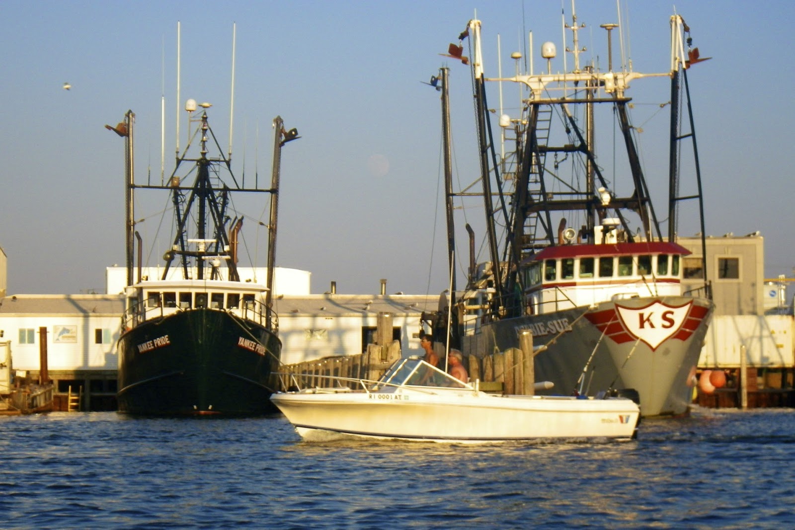
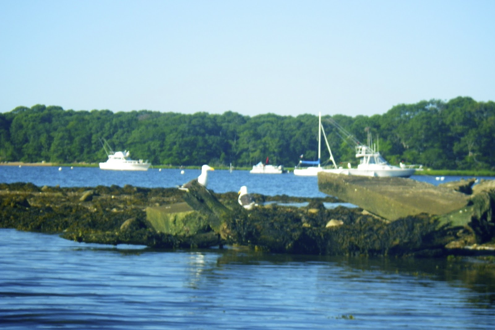
- June - Providence and Woonasquatucket, Upper Winni
- July – Tville again, Vacation in Narragansett
- August – Dead, Lower Deerfield
- September – Fife Brook
- October – Lower Otter Brook, Piscataquog
- November - Pawcatuck - White Rock, Pemi - Woodstock to Campton
- December – Tville again
With all the snow, I did a couple of snowshoeing trips:
Here are some of my favorite trips of 2015.
Favorite Trips of
2015 from Erik
Eckilson on Vimeo.
New Year’s resolutions for
2016 – I have a few:
- Practice rolling – I’ve been lax about that lately
- Do at least one camping trip – hopefully the crew will be interested in a trip in the fall
- Paddle in all six New England states - this year I missed VT.
Happy New
Year.