 |
| Heading out from Knowlesway Ext. |
For the past couple of years I have been leading RICKA trips on Point Judith Pond while I am on vacation. This year with COVID-19 I wasn’t sure if I should, but in the end I decided I would, and I am glad that I did.
Point Judith Pond, or the Great Salt Pond, is located along the border of Narragansett and South Kingstown, and is the second largest of the Rhode Island’s South County salt ponds. It is a shallow, four-mile long pond located behind the barrier beaches and sand dunes that form Point Judith Harbor. The pond is 20 miles around with many pretty islands and coves to explore.
 |
| Fishing Boats in Galilee |
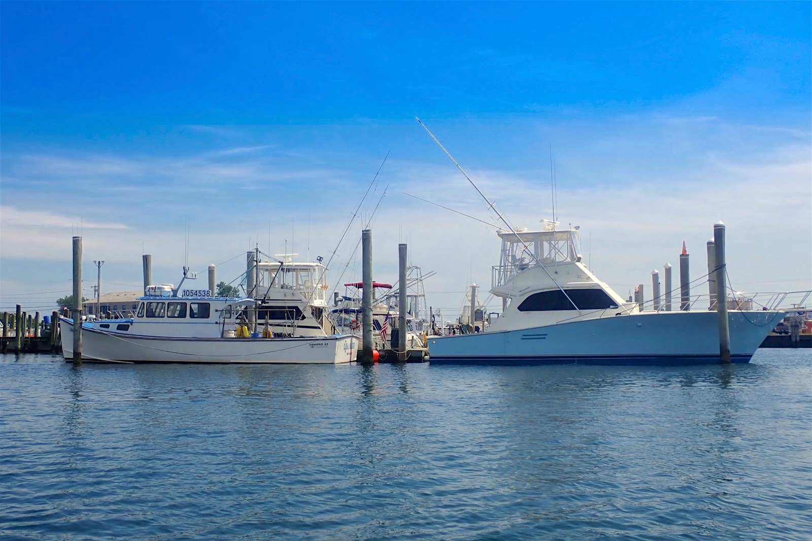
Our usual put-in for this trip is at the marina on the Upper Pond. Unfortunately, that starts us on the northern end of the pond, and I really prefer the southern end. For this trip I decided to launch at the Knowlesway Ext Waterfront Public Access Point instead - more on that later.
We would be paddling across lower Point Judith Pond just above Galilee, though the coastal inlet at Snug Harbor, and over to Potter Pond – a 6-mile trip that doesn’t get paddled very often. We headed out into a slight breeze from the south and an incoming tide. We crossed under the Great Island Bridge did our best to stay out of the boat channels around Galilee.
 |
| After the crossing at Snug Harbor |
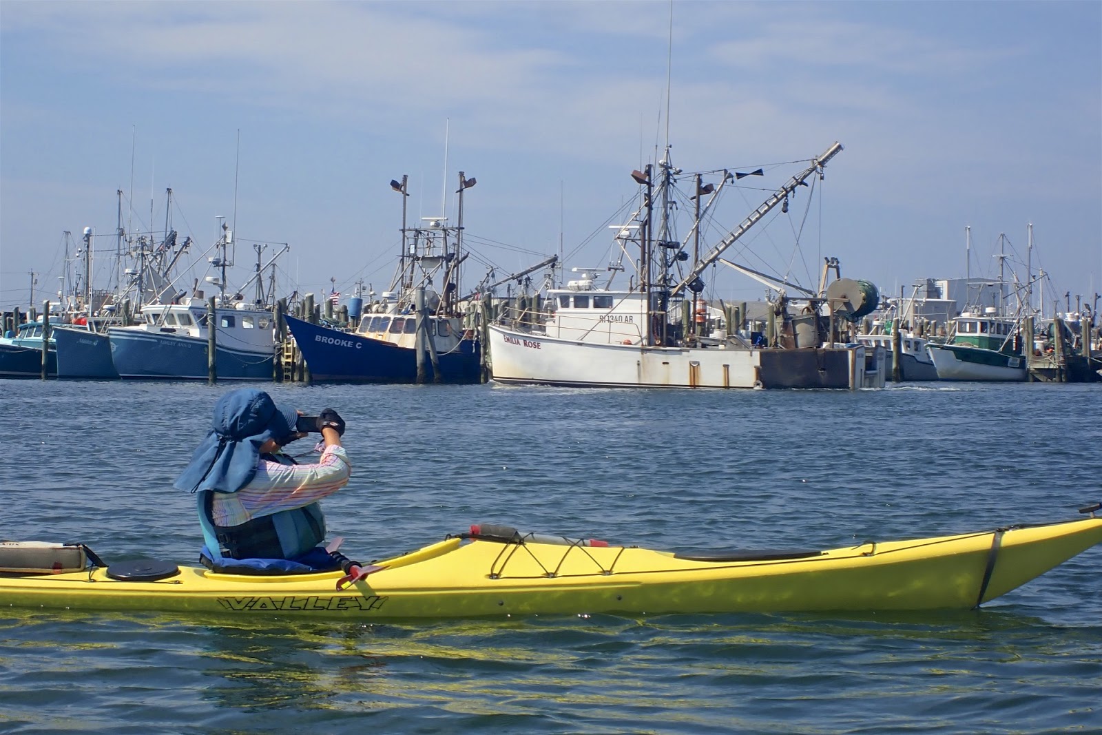
The Port of Galilee was created in 1935 when a harbor was dredged and a dock constructed at the mouth of Point Judith Pond. Connected to the ocean by the Breakaway and protected by the Harbor of Refuge, both completed in 1910, Galilee is the homeport to much of Rhode Island's fishing fleet. Generations of fishermen have sailed from Galilee to work the waters of Narragansett Bay, Block Island Sound and beyond.
We crossed the main boat channel at Snug Harbor and paddled through the coastal inlet that connects Point Judith Pond to Potter Pond. At the southern end of Potter Pond are sand flats and the barrier beaches created by East Matunuck State Beach. The northern end is more wooded with a deep “kettle hole” left by retreating glaciers.
 |
| Pat checks out her sail on the return trip |
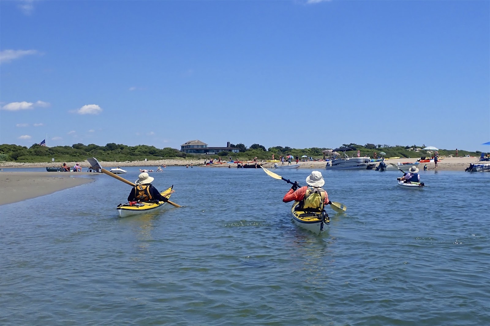
We explored the northern end of the pond until the jet skis and motorboats scared us away. We then headed south and west to the Ocean Avenue Waterfront Access in Matunuck for lunch and a swim at East Matunuck State Beach. The beach was packed, but we wore our masks and stayed socially distanced. From there we headed back to Point Judith Pond.
As we approached the inlet leading back to Point Judith Pond we found the incoming tide rushing through the narrow channel – even motor boats were having difficulty getting through. Peter and Gary were able to follow the eddies and paddle up through the fast moving water. The rest of us walked our boats up the left side of the channel. The current was also fast under the Succotash Road Bridge, but we were able to paddle up through there, and provide some entertainment for the customers at the Matunuck Oyster Bar.
 |
| Waiting for the boat traffic crossing back |
By the time we got back to Snug Harbor the boat traffic had increased significantly, and it was a mad dash across the main boat channel. From there it is an easy paddle back to the put-in.
When we got back to put-in we found an unwelcome surprise – tickets on all the cars. The street isn’t posted "No Parking" so we called the police station to complain. They said that the tickets were issued in error, and that we should drop them off at the police station so they can be rescinded. I dropped them off and got a confirmation the next day - thank goodness. Other than the tickets, it was a fun day with a great group of paddlers.
 |
| Danny checking out the view down to the Breachway |
Links:


