|
| New Years on the West River |
 |
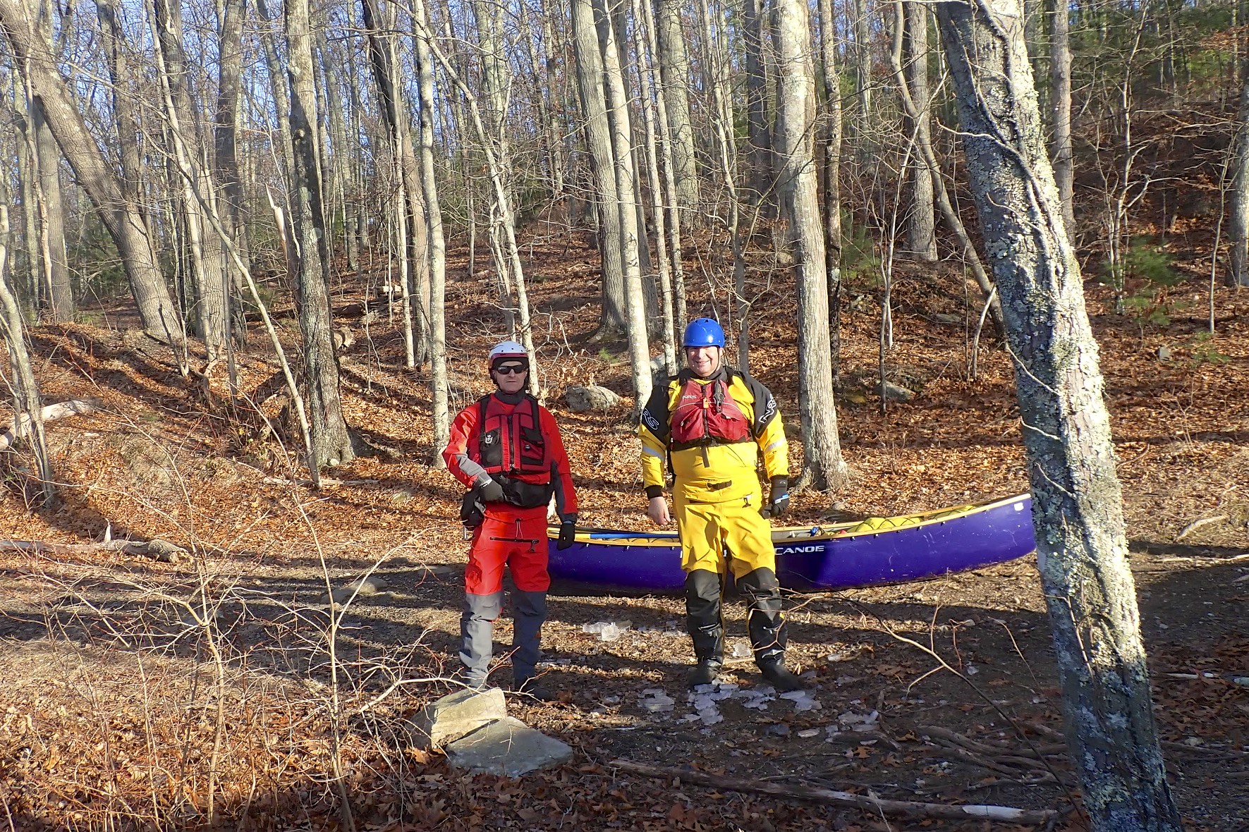
| With Paul on the Branch |
It wasn’t until July that I started paddling group trips again, but I was still careful about car shuttles. I only did one car shuttle all year – the Magalloway, and only after both Conrad and I were tested. On the positive side, I did do a few bike shuttles (Blackstone - Lonsdale to Manville, Lower Deerfield, Charles – Medfield to Dover, Tville, Narrow River, Pawcatuck - Burlingame to Potter Hill, Quabaug, Assabet – Acton to Concord, Nashua – Ayer to Groton), and that works great.
 |
| Lifetime Membership Award |
The year ended with my father’s passing after a long illness. I did my first canoe trip with my father in 1989 on the Albion to Manville section of Blackstone, and my first whitewater trip with him in 1990 on the Androscoggin River. I went back to paddle the Blackstone on the day of his passing as a tribute to him. It was cold and gray, and somehow it didn’t fill the hole in my heart the way that I expected. I’m sure in the days and years ahead I will miss him in many ways that I never expected.
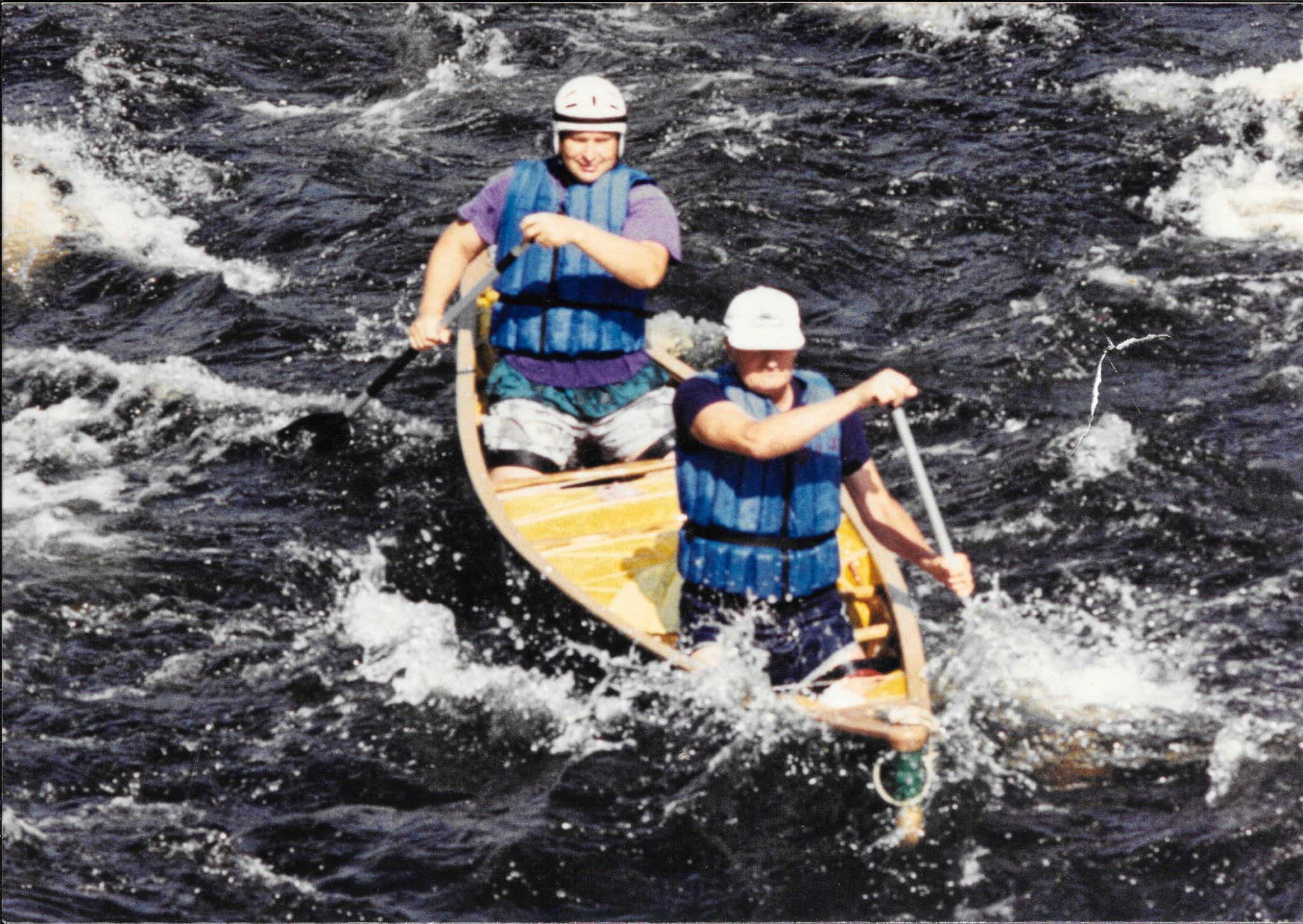 |
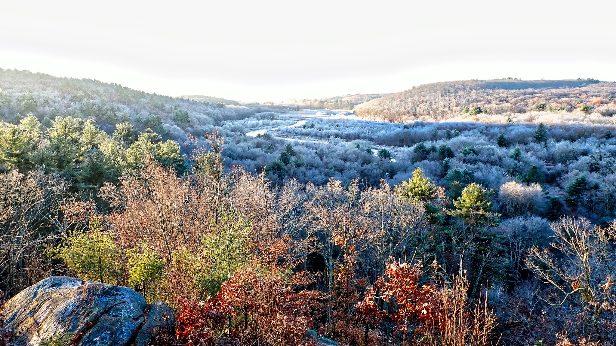
| 1990 on the Androscoggin River |
- January - West, Hunt, Pawcatuck – Shannock to Richmond
- February - Providence, Quinebaug – Fabian to West Thompson
- March - River Island Park, Blackstone – Lonsdale Canal/River Loop
- April - Manville Dam, Branch
- May - Big River, Nashua – Oxbow Wildlife Refuge, Nashua - Lancaster
- June - Concord, Charles – Bays Region, Lower Deerfield
- July - Charles – Medfield to Dover, Bowdish, Tville, Narrow River, Potter Pond
- August - Ninigret, Pawcatuck - Bradford to Potter Hill
- September - Providence, Wickford
- October - Blackstone Gorge, Tully Lake
- November - Turkey-less Turkey Paddle at Hopeville Pond, Assabet – Acton to Concord, Nashua - Ayer to Groton
- December - Blackstone River – Albion to Manville, Branch River
Here are some of my favorite trips for the year.
 |
| The crew at Noon Hill |
- Broadmoor Wildlife Sanctuary
- Wachusett Meadow Wildlife Sanctuary
- Quinaboxet
- Borderland State Park
- Groton Town Forest
- Noon Hill/Shattuck Reservations
In terms of my resolutions from last year, I didn’t do so well. I didn’t take a paddling class and I didn’t get back to the Dead. At least I got in one camping trip. In terms of resolutions for next year, they are a lot like last year with one BIG difference.
- Get the vaccine as soon as it is available
- Take a class III paddling class – especially with my new boat
- Get back to the Dead – always a great trip
- Keep camping – I’d really like to do the St. Croix
- Practice rolling – I’ll keep including it until I do it
Fortunately, there are still plenty of rivers to paddle, plenty of trails to hike, and plenty of places to go camping. Happy New Year everyone.