Showing posts with label Danielson. Show all posts

Sunday, June 1, 2025

Quinebaug - Danielson to Canterbury

Heading downstream
Paul has put this trip on the RICKA flatwater calendar for the past couple of years, but it always got cancelled due to low water. With the rain last week, the level was holding at around 4-feet, 800 cfs, so this year the trip was on. It was a little low for Paul’s liking, but I thought it was fine.

The Quinebaug River arises above East Brimfield Lake in Sturbridge and flows generally southeast for 60 miles through MA and CT to Norwich where it joins the Willimantic to form the Shetucket. We would be running the 10-mile section from Danielson to Canterbury. You can also shorten this trip to 5.3 miles by taking out at the CT DEEP Fish Hatchery.

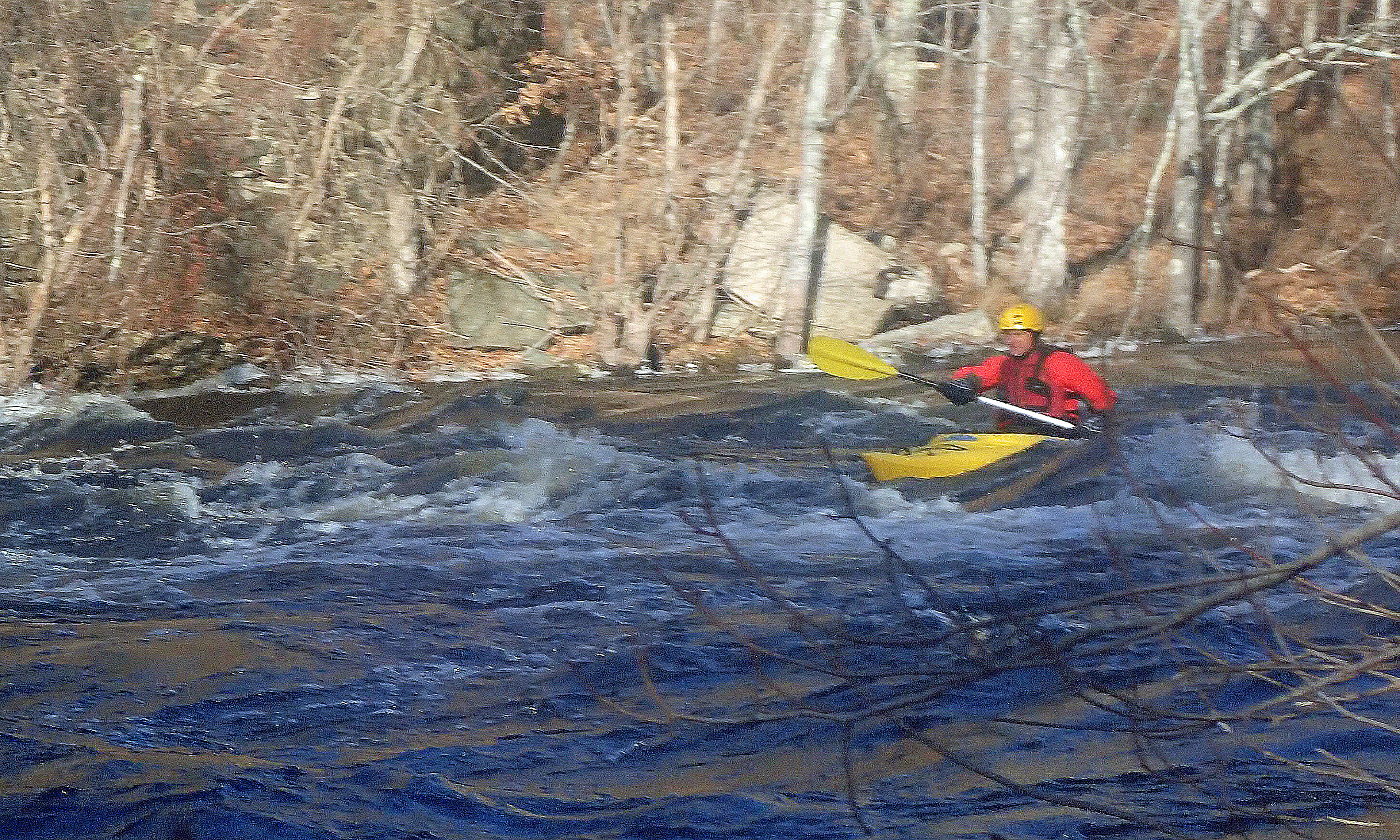
running the broken Dam
This is one of the longer, more challenging sections of the Quinebaug with flatwater, lots of quickwater, and two class II rapids at the broken Dyer Dam (2-miles downstream, rebar river right - run center or left) and the old Wauregan Dam above the Wauregen Road Bridge (5-miles downstream).

I met the crew at 10:30 at Wayne R. LaFreniere Memorial Field at 39 Wauregan Road in Danielson for the shuttle down to Robert Manship Park at 50 Lovell Lane in Canterbury. It was cloudy and rainy, which would continue throughout the trip.

Running the Wauregan Dam
The current was moving fast as we launched at around 11:00 and headed downstream. We had 8 paddlers in seven boats (4 canoes and 3 kayaks). Everyone's confidence seemed to build as we ran the first couple of quickwater rapids.

The first real challenge was the class II drop at the broken Dyer Dam. The easiest line was through the center – a large tongue terminated in a small reaction wave. Everyone bounced down and made it through fine. With a little more confidence, we continued through more quickwater to the next class II rapid – the old Wauregan Dam. 

Approaching the take out
The Wauregan Dam is is a much longer rapid with rocks and holes at the top and standing waves down through the center. The line starts right and them moves to the center. Everyone made it through fine and looked like they enjoyed the run.

We stopped for lunch at the Fish Hatchery before continuing on the second half of the trip, which is mostly flatwater with a couple of quickwater sections. The trip took about 3-hours. Good time had by all in spite of the rain.

The crew at the lunch break
Links:

Sunday, May 19, 2024

Quinebaug - Danielson to Plainfield - May 19, 2024

Heading out
I was going to paddle Great Swamp with Chuck today, but it got cancelled due to high water. I thought about going out to paddle the Covered Bridge section of the Housatonic with Paul D, but it is a really long drive. Instead, sent an email to Paul L looking to paddle the Branch. He wasn’t interested in that, so we were back on the Q2 – second time this year.

The Quinebaug River arises above East Brimfield Lake in Sturbridge and flows generally southeast for 60 miles through MA and CT to Norwich where it joins the Willimantic to form the Shetucket. The Q2 (as Paul calls it) is the section from Danielson to Plainfield.

Crew at the take-out
I met Paul at 10:00, and Ben showed up a little later. The river was at a nice level – 4.5-feet, 1,100 cfs. The river starts off with quickwater until you reach the first rapid - the Dyer Dam about 2-miles downstream. I ran center left, Paul and Ben went right.

More quickwater follows until 5-miles downstream when you reach the Wauregan Dam above the Wauregen Road Bridge. The waves at the top right were big, but we  stayed right anyway. The trip took us about 2 hours.


Quinebaug from Erik Eckilson on Vimeo.

Links:

Sunday, March 3, 2024

Quinebaug River - Danielson to Plainfield - March 3, 2024

Running the Dyer Dam
I needed to paddle a little later today, so when I got an email from Paul looking to paddle the Q2 at 1:00, it worked out perfect. 

The Q2 is the section of the Quinebaug below Danielson, CT. On this trip we did the 5-mile section down to Plainfield. You can also do another 5-miles down to Canterbury. I met Paul at 1:00 at Wayne R. LaFreniere Memorial Field (39 Wauregan Road, Danielson) for the shuttle down to the Fish Hatchery (145 Trout Hatchery Road, Plainfield). When I arrived I was surprised to see Mike there as well. The temps were in the low 60's, and we had a great level - 5 feet, 1,500 cfs.

Running the Wauregen Dam Rapid
The river starts off with quickwater until you reach the first rapid - the broken Dyer Dam about 2-miles downstream. There is rebar on river right, so the best line is center, or to the left. More quickwater follows until 5-miles downstream when you reach the Wauregan Dam Rapid above the Wauregen Road Bridge. The waves at the top right were big, but I stayed right anyway. We got a few pictures, but the video of Paul's run didn't come out.

The trip took us about 2 hours. Fun run, and I also got to pick Mike's brain on the Moosup River.


The crew - Erik, Mike, Paul
Links:

Monday, December 26, 2022

Day-after-Christmas Paddle - Quinebaug - Danielson to Plainfield - December 26, 2022

At the put-in
It was just me and Paul for my last trip of the year - a day-after-Christmas trip on the Quinebaug. 
We ran the 5-mile section from Danielson to Plainville. We usually go another 5-miles down to Canterbury, but with the cold temperatures we decided to cut the run short. 

I met Paul at noon at Wayne R. LaFreniere Memorial Field (39 Wauregan Road, Danielson) for the shuttle down to the Fish Hatchery (145 Trout Hatchery Road, Plainfield). The temperature was 30° when we launched and icicles lined the banks, but the river was at great level - 5.8 feet, 2,000 cfs.

Running the broken Dyer Dam
The river starts off with quickwater until you hit the first rapid - the broken Dyer Dam about 2-miles downstream. There is rebar on river right, so the best line is center, or to the left. More quickwater follows until 5-miles downstream when you hit the broken Wauregan Dam Rapid at the Wauregen Road Bridge. The waves at the top right were huge, but the line just left of center was easy.  

The trip took up about 1.5 hours. By the time we got to the fish hatchery I was cold and my knee was sore. I was glad that we didn’t have to paddle the rest of the way down to Canterbury. Thanks to Paul for a warm-up cup of coffee at Dunkin' on the shuttle back.

Running the Wauregen Dam Rapid
Links:

Thursday, February 24, 2022

Quinebaug - Danielson to Canterbury - February 23, 2022

Erik
The forecast was for temperatures in the mid-60’s (it actually hit 70 in Hartford), so I decided to take the afternoon off to paddle the Q2 (Quinebaug, not Quinapoxet) with Paul. After seeing my post on Facebook, Dave decided to join us as well.

The Quinebaug River arises above East Brimfield Lake in Sturbridge and flows generally southeast for 60 miles through MA and CT to Norwich where it joins the Willimantic to form the Shetucket. We would be running the 10-mile section from Danielson to Canterbury. You can also shorten this trip to 5.3 miles by taking out at the CT DEEP Fish Hatchery.

Paul
I met Paul and Dave at noon at Wayne R. LaFreniere Memorial Field at 39 Wauregan Road in Danielson for the shuttle down to Robert Manship Park at 50 Lovell Lane in Canterbury. We got on the water around 1:00 and headed downstream. The gage was offline, but based on intermittent readings it looks like the level was around 6’, 2,000 cfs – plenty of water and no rocks to dodge.

This is one of the longer, more challenging sections of the Quinebaug with flatwater, lots of quickwater, and easy rapids at the broken Dyer Dam (2-miles downstream, rebar river right - run center or left) and the old Wauregan Dam above the Wauregen Road Bridge (5-miles downstream). The trip took up about 2.5 hours, but it would have gone faster without the wind.


Quinebaug River Paddle Guide (see page 21 for this trip)

Saturday, September 4, 2021

Quinebaug - Danielson to Canterbury - High Water Run - September 3, 2021

I got together with Paul, and we decided to start off the Labor Day weekend back on the Quinebaug River for another run on the section from Danielson to Canterbury. 

We ran this section last weekend at 3.6 feet, 600 cfs on the Putnam gage. Today it was closer to 7’, 3,000 cfs. – just below flood stage, but still up in the trees with fast moving current. The rapids were still there, but there we no rocks to dodge – just long wave trains with 1’ – 2’ rolling waves. The biggest waves were at the broken dam with about a 3’ wave at the bottom (I found a sneak route to avoid it), and the rapid above the Wauregen Road Bridge (Route 205) with some large 3’ waves on the right at the top. I found a sneak line through the center, but the waves pushed me over to the trees on the left by the time I reached to the bottom. 

I brought my Outrage, and I was glad I did. The run only took us an hour and a half. I left my camera in the car, so no pictures from the run. I did get these at the take out.

Saturday, August 28, 2021

Quinebaug – Danielson to Canterbury - August 28, 2021 - Low Water Run - August 28, 2021

Paul L.
With my son coming down from ME on Saturday and my mother’s birthday on Sunday I was planning to stay close to home this weekend, but when Paul L. suggested an early morning run on the Quinebaug, I couldn’t resist. Paul D. and Bill joined in as well.

The Quinebaug River arises above East Brimfield Lake in Sturbridge and flows generally southeast for 60 miles through MA and CT to Norwich where it joins the Willimantic to form the Shetucket. I have done several sections of the Quinebaug including Holland Pond to East Brimfield, Sturbridge to Southbridge, Fabyan to West Thompson and Putnam to Dayville/Brooklyn.

Paul D.
Today we would be running the section from Danielson to Canterbury – about 10-miles. (You can also shorten this trip to 5.3 miles by taking out at the CT DEEP Fish Hatchery.) We met at 8:00 a.m. at the put in at 39 Wauregan Road in Danielson, and ran the shuttle down to the take –out at the Robert Manship Park at 50 Lovell Lane in Canterbury.

We got on the water at around 9:00 a.m. and headed downstream. The level was 3.6 feet, 600 cfs on the Putnam gage - OK, but 1,000 cfs would be better. This is one of the longer and more challenging sections of the Quinebaug with lots of quickwater, a couple of broken dams and a couple of easy rapids. The run took us about 3-hours - can't believe I hadn't paddled this before.

A typical section of the Quinebaug
Links: