|
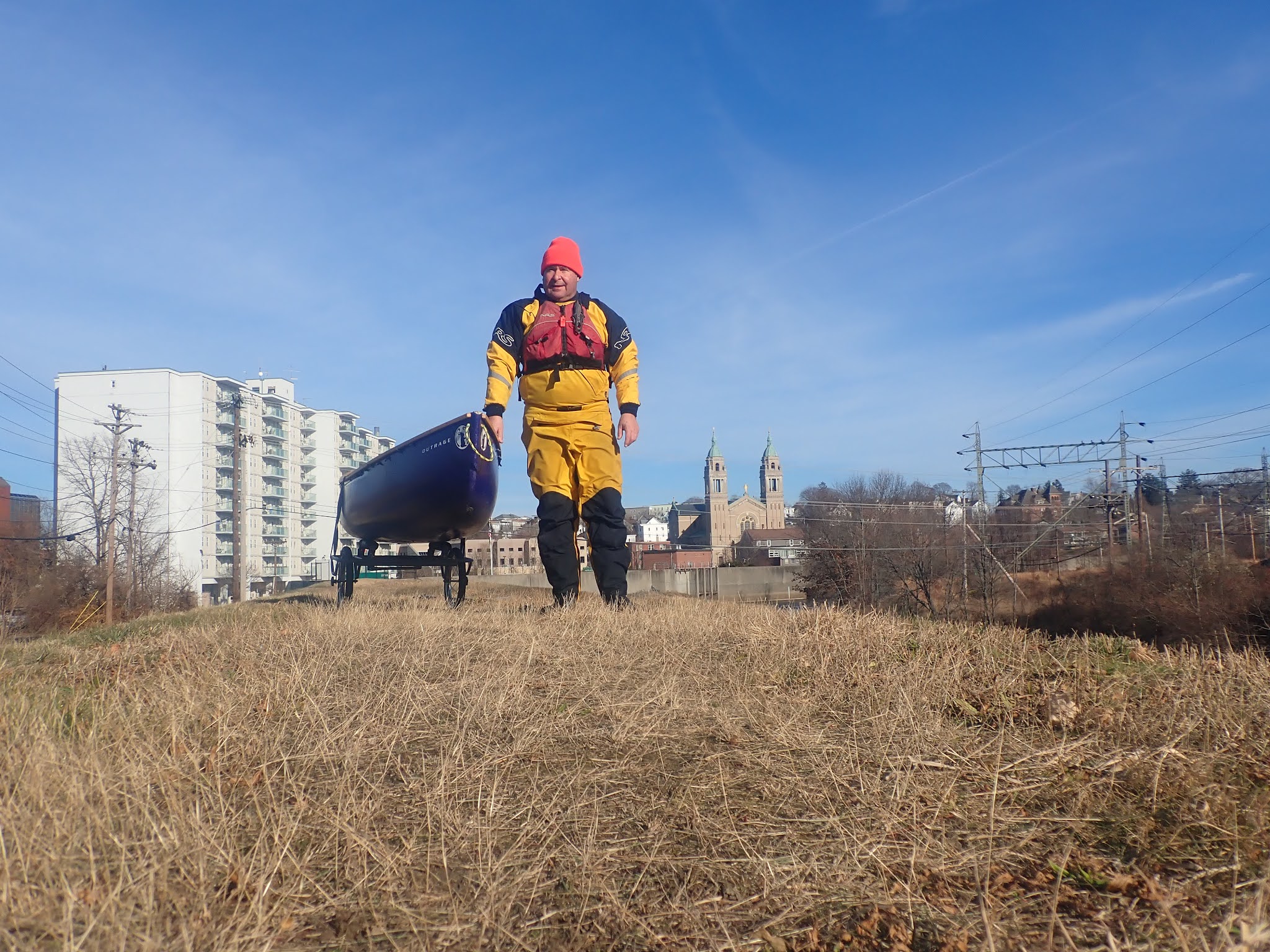
| Upper Winni - New Year's Day |
That started to change after I got fully vaccinated. I did my first car shuttle on the Pemi in April, and paddling returned to a more normal schedule. I didn’t do a lot of whitewater, but I did get back to some old favorites - Otter Brook, Tville, Knightville and the Upper Millers.
 |
| Riverton section of the Farmington |
I only did two Blackstone Valley Paddle Club trips – Riverview Landing on the Quinsigamound, and the 20th Anniversary at Sycamore Landing. I did a virtual Flatwater Leader Training for RICKA in April, and I led RICKA trips at Bold Point in Providence, Point Judith Pond, Alton to Bradford on the Wood/Pawcatuck , Natick to Framingham on the Charles and Sheffield to Falls Village on the Housatonic. I also helped Bill with his Sudbury/Concord trip.
 |
| Brown's Ledge at Tville |
- January - Winnipesauke - Tilton, Farmington - Crystal
- February - Farmington -Crystal
- March - Farmington - Crystal, Branch River Icebreaker
- April - River Bend Farm, Pemi – Thornton to Campton
- May - Otter Brook, White – Hancock to Stockbridge, Housatontic – Cornwall to Kent, Farmington - Tville, Quinsigamound – Riverview Landing
- June - Umbagog Lake, Charles - Dedham Loop, Farmington - Riverton
- July - Providence, Westfield – Knightville, Point Judith Pond
- August - Blackstone – Manville to Albion, Charles – Medfield to Natick, Wood/Pawcatuck – Alton to Bradford, Sudbury/Concord – Lincoln to Bedford, Quinebaug – Danielson to Canterbury (low water)
- September - Quinebaug – Danielson to Canterbury (high water), Millers – Athol to Royalston, Quinebaug – East Brimfield Lake to Holland Pond, Wickford Harbor
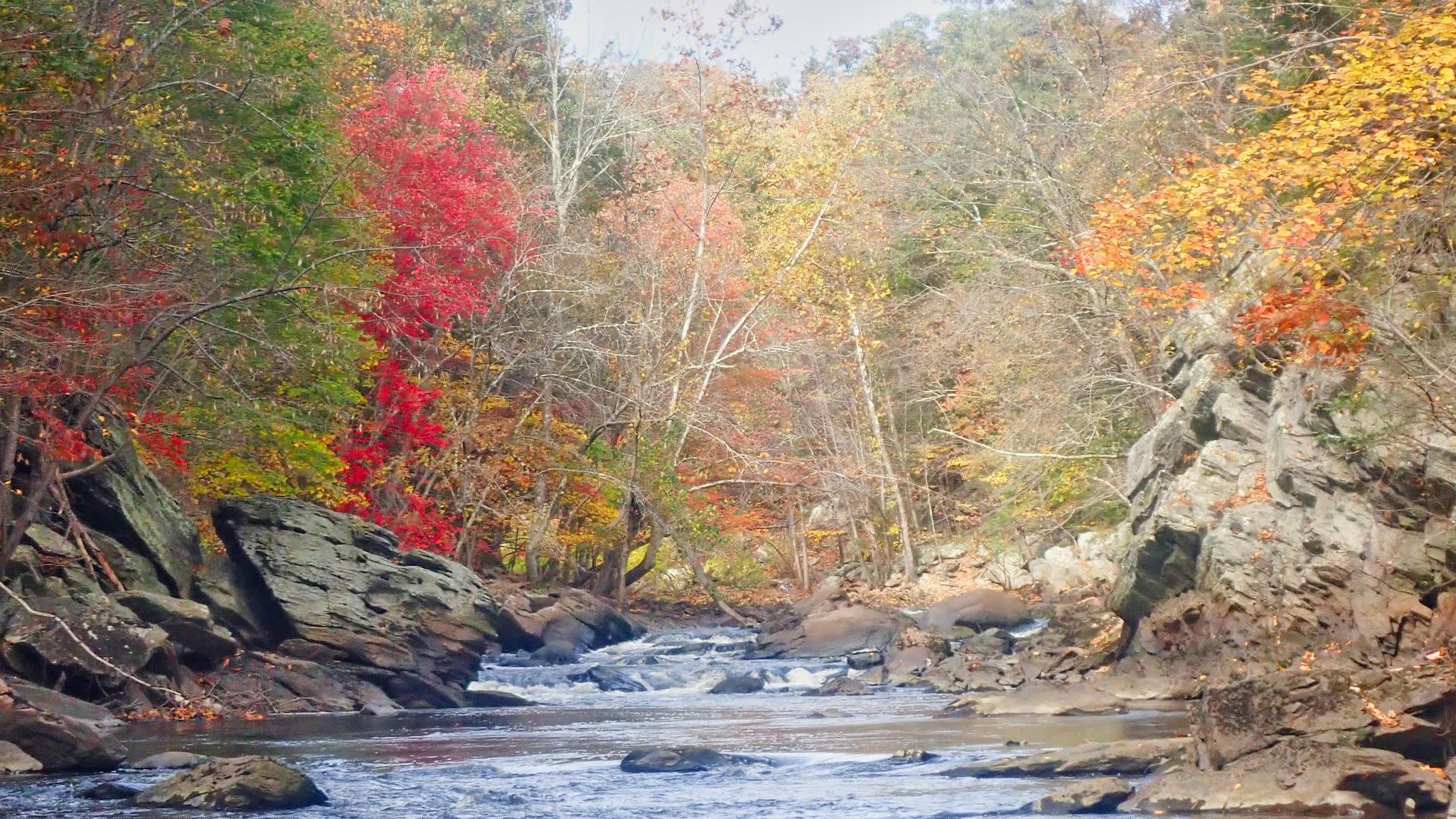
- October - Housatonic – Sheffield to Falls Village, Blackstone Gorge
- November - Wallum Lake – RICKA Turkey Paddle, Charles River Lakes Region
- December - River Island Park, Blackstone - Albion to Manville, Martin Street Bridge
Here is my favorite trips video from RICKA Movie Night.
Favorite Trips 2021 from Erik Eckilson on Vimeo.
Favorite Trips 2021 from Erik Eckilson on Vimeo.
South County Vacation from Erik Eckilson on Vimeo.
I did get out for a spring camping trip with Bill and Earl on Umbagog Lake.
Camping on Umbagog Lake from Erik Eckilson on Vimeo.
Camping on Umbagog Lake from Erik Eckilson on Vimeo.
In the fall we used Taconic State Park as the base camp for day trips on the Housatonic from Sheffield to Falls Village.
Housatonic Foliage Weekend from Erik Eckilson on Vimeo.
I did a few hikes, but COVID put a bit of a damper on that as well. The year ended with a nice hike at the Hodges Village Dam.
In terms of resolutions for 2022, they are a lot like 2021.
Housatonic Foliage Weekend from Erik Eckilson on Vimeo.
 |
| Hiking at Noanet Woods |
With COVID, my resolutions for 2021 were more aspirational than realistic. I did get vaccinated as soon as possible, and I did do some camping. I didn’t take a whitewater class, get back to the Dead or practice rolling.
 |
| Turkey Paddle at Wallum Lake |
- Do some paddling in southern Maine - I got the perfect paddling guide from Justin for Christmas.
- Keep camping - hopefully the Allagash in the spring, and I would love to do a guided trip on the St. Croix. Who knows, maybe Michelle and I could get out with the new sleeping pad that I got from Justin for Christmas.
- Paddle more whitewater – I’m still feeling rusty, especially with the new boat.
- Get back to the Dead – always a great trip
- Practice rolling – I’ll keep including it until I do it
Fortunately, there are still plenty of rivers to paddle, plenty of trails to hike, and plenty of places to go camping. Happy New Year everyone