
 |
| Looking north up Umbagog Lake |
Umbagog Lake is located along the border of NH and ME near Errol, NH. The lake runs almost 11 miles north to south and is fed by the Magalloway, Rapid and Dead Cambridge Rivers, and is the source of the Androscoggin River. The lake is part of the Umbagog National Wildlife Refuge and Umbagog Lake State Park.
 |
| Dead Cambridge River |
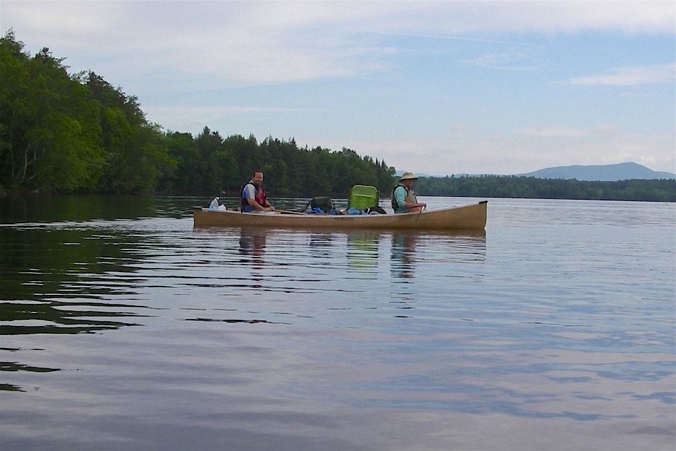
We meet at Umbagog Lake State Park and shuttled a car to the take out at the Errol Dam. Once all the boats were loaded we set out to explore the southern end of the lake. The day was sunny and warm, but the wind was blowing from the west giving us following waves and a strong tail wind as we paddled east toward the Dead Cambridge River. From there we paddled west and north before crossing over to Big Island at Tidswell Point.
 |
| Ribeye steaks on the fire |
I woke up around 5:00 and crawled out of my tent to get some pictures of the sunrise. Bill and Earl weren’t far behind so we lit the fire, cooked breakfast (omelets and home fries) and started packing up camp. The day started off cloudy and the plan was to be on the water by 8:30 in hopes of avoiding some of the afternoon wind.
 |
| Heading out on day 2 |
After 10 or 15 minutes I climbed out on Pine Point to see how Earl was progressing, but there was no sign of him. We paddled back around the point, and in an abundance of caution along the shore all the way back to Tyler Point to see if he stopped for a break or retraced his steps – still no sign of him.
 |
| Crossing to Pine Point |
Bill and I were relieved, but now faced a third crossing to Pine Point. The wind was stronger and we were getting tired, but we made the crossing fine. From there we headed west to the mouth of the Rapid River, and then north toward Sunday Cove to our next site R15.
 |
| Windy afternoon in camp |
Dinner was Jonathan’s fried fish (egg wash and bread crumbs) and Maine Guide Potatoes (boiled potatoes and onions with butter). Then we settled in around the fire for the night. Paddling for the day was 10-miles for Earl, 14 miles for Bill and I due to the multiple crossings at Tyler/Pine Points.
 |
| Earl makes the crossing on day 3 |
Even in the morning we had winds out of the northwest, but we made the crossing fine. We dropped our gear at the campsite and headed south to Molls Rock. Bill had stayed at this site several years ago when he did this section of the Northern Forest Canoe Trail. The sun was hot so we jumped in the lake for a swim. From there we headed up a section of the Magalloway River before retuning to the campsite to set up camp.
 |
| Chef Bill cooks dinner |
I slept late the next day, not crawling of my tent until around 6:30. By then, Bill had the fire going, and Earl was already starting to pack. We got the coffee going and cooked breakfast (pancakes and bacon) before Bill and I started to pack. It was a leisurely 4-mile paddle down the Androscoggin River to our take out at the Errol Dam. After retrieving cars and packing up we snapped a couple of final pictures before beginning the 4-½ hour drive home.
Links:


No comments:
Post a Comment
Note: Only a member of this blog may post a comment.