
- January – New Year’s run on Fife Brook
- February – Crystal section of the Farmington
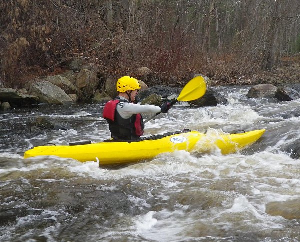
- March – Otter Brook
- April – Quinapoxet, Quninsigamond
- May – Knightville section of the Westfield, Quaboag
- June – Sudbury
- July – Fife Brook again
- August – Easy Whitewater Trip in the Lower Deerfield
- September – Lower Millers
- November – Nashua, Lower Millers again
- December – Crystal again, Plummers Landing, Clear and Branch, Assabet
Unfortunately, I broke my monthly streak of continuous paddling in October due to my brother-in-law's passing.
With last winter’s snow, I was also able to get in a little snowshoeing in 2011:
I added a few new videos to my collection of Blackstone River videos. I now have the river pretty much covered from Riverbend Farm in Uxbridge down to the Slater Mill in Pawtucket. I also included a couple of sections of the Clear/Branch Rivers.I had a great vacation in Narragansett – my first attempts at ocean paddling.
As for last year’s resolutions, I did OK. I did get out to paddle with SuAsCo Al – three times in fact:
I still need to work on my C1 rolling, and I need to do some overnight camping trips. It’s good to have some goals for next year.
Overall it was another great year, and there are still plenty of rivers I would like to paddle. Here is my RICKA Year in Review video.
RICKA Trips 2011 from Erik Eckilson on Vimeo.
Happy New Year everyone.


