|
| First successful run through Stokers on the Scantic |
I did 62 trips this year, which is a little above my 7-year average of 57 trips. I got on a few new rivers including the Lower Winni, Neponset, Bungay, Saco and Sheepscot. I did a few less RICKA trips, but I did lead or co-lead trips on the Assabet, Pawcatuck and Sudbury, and organized a SUP Demo at Lincoln Woods. Here are some of the year's more significant trips:
- January - Lower Winni, Neponset, Lower Millers
- February - Willimantic
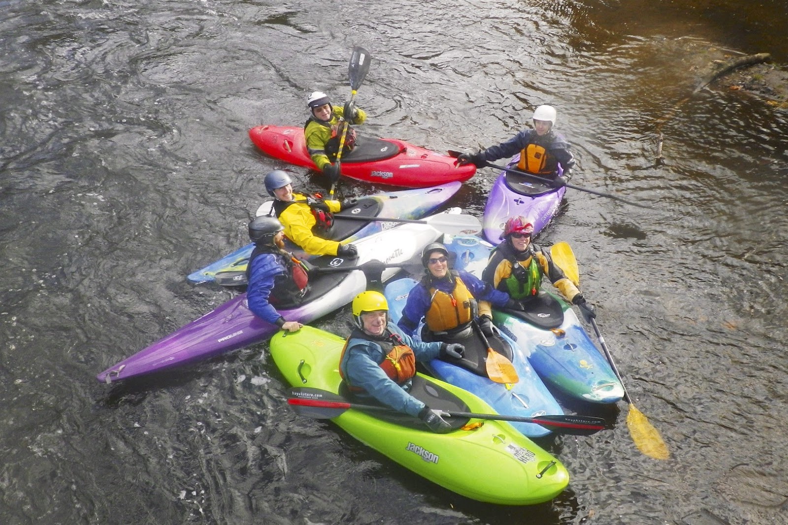
- March - Scantic
- April - Pemi – Woodstock, Knightville, Pemi – Bristol
- May - Thursday Night Tville, Otter Brook, Moose River Bow
- June - Simsbury and Tville, Pawcatuck – Richmond to Bradford, Assabet
- July - Pawcatuck – Shannock to Richmond, Whitehall, Bungay
- August - SUP’ing at Lincoln Woods, Sudbury, RICKA Picnic
- September - Fife Brook and the Gap, West
- October - Pawcatuck - Bradford to Potter Hill, Piscat Drawdown, Saco and Sheepscot
- November - Pemi – Bristol, Turkey Paddle
- December - Tville
 |
| Paddling my new Wildfire on the Pawcatuck River |
I did a little more hiking this year, even though we didn’t have as much snow.
Here are some of my favorite trips from 2016 from RICKA Movie night.
RICKA Movie Night - My Favorite Trips of 2016 from Erik Eckilson on Vimeo.
RICKA Movie Night - My Favorite Trips of 2016 from Erik Eckilson on Vimeo.
In terms of my resolutions from last year, I didn’t do so well on rolling practice, but I did get a camping trip in, and did paddle in all six New England States. Resolutions for next year;
- Practice rolling – I’ll keep including it until I do it.
- Do at least one camping trip – hopefully two with one in the spring and one in the fall
Overall it was another great year, and there are still plenty of rivers I would like to paddle.