Tuesday, May 31, 2016

Moose River “Bow Trip” - May 27 to 30, 2016

Holeb Stream
I had heard that the “Bow Trip” on the Moose River was one of the most popular canoe camping trips in Maine, and now I know why.  This trip has it all – a fun river, some lake crossings, great scenery, and easy camping.  Just to make it interesting, our trip also had thunderstorms, torrential downpours, swarms of blackflies and mosquitoes, and a difficult portage – something for everyone.

The Bow Trip is located in 19,000 acres of wilderness managed by the Maine Department of Conservation on the Moose River
and Holeb and Attean Ponds. There are 21 campsites along the 34-mile route.  When I heard that Joe would be leading a trip there on Memorial Day Weekend, I jumped at the opportunity to join.
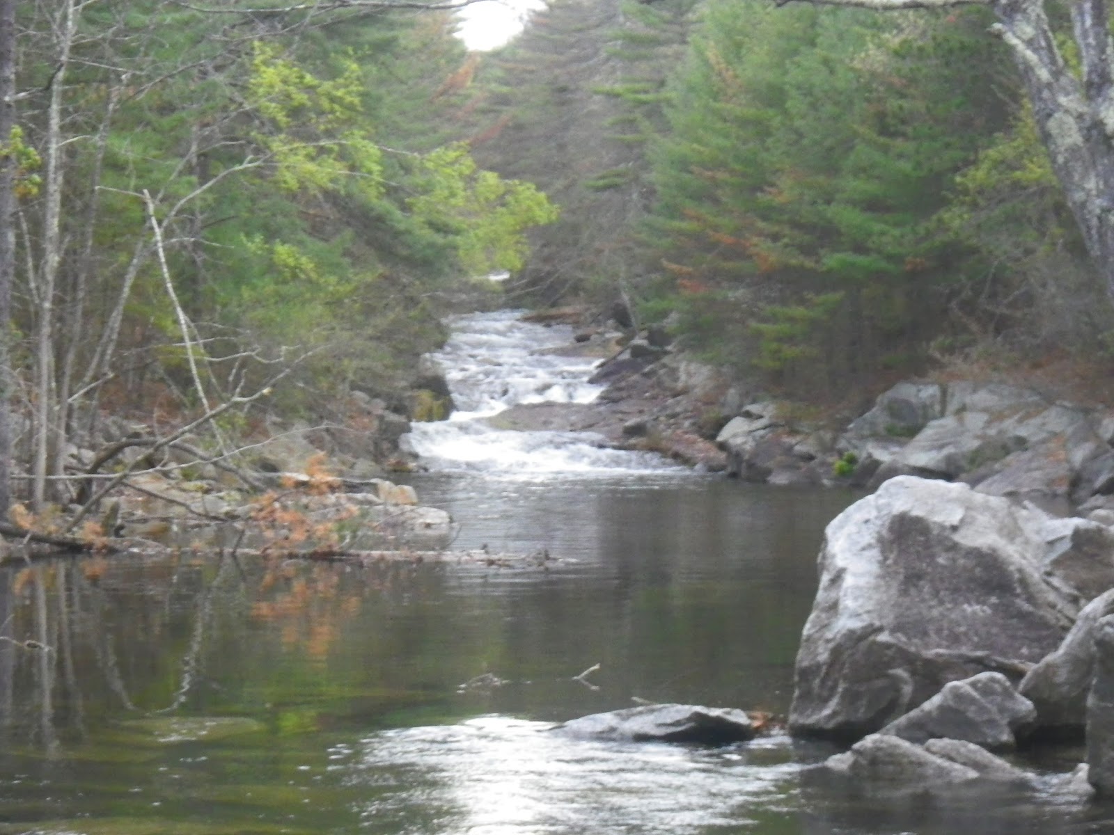
Moose River
We had a small group of 5 paddlers – 3 solo canoes and 1 tandem.  We decided to use a shuttle service and skip 7-miles of lake travel up the Attean and Holeb Ponds, and more importantly, the 1.25-mile portage between the two lakes.

We drove up on Friday morning, and met our driver from Cry of the Loon at around 2:00 at Attean Landing on Attean Pond for the shuttle to Holeb Landing on Holeb Pond. We put in at the Holeb Landing and paddled across Holeb Pond to Holeb Stream.  We then followed Holeb Stream to its confluence with the Moose River, and paddled down the Moose River to Camel Rips where we set up camp for the night.

Running Camel Rips
As we settled in around the campfire, we started to hear thunder rumbling in the distance.  We got the rain tarp up just as the downpours began.  Thunder and lightening were cracking around us as we sat in relative comfort around the campfire.  Fortunately, the storms passed in a couple of hours.  Friday we paddled about 5-miles.

We awoke Saturday morning to a beautiful day with bright sunny skies.  We paddled down the Moose River to the quarter-mile portage at Holeb Falls.  After the portage, we had lunch at the Holeb Falls campsite before continuing down through Mosquito Rips to Spencer Rips where we set up camp on river left. There are also campsites on river right, but with drive-in access, we were told that they could be loud and busy.

Running Spenser Rips
With the calm skies and a sunny day came an abundance of blackflies and mosquitoes.  No amount of bug spray could keep the bugs at bay, and I had to resort to putting on my head net.  Finally, after reconstructing the fire pit, we got a smoky fire going, and that seemed to help.  Saturday we paddled about 9-miles with the quarter-mile portage.

On Sunday morning I was content to lie in my sleeping bag until I heard Joe outside my tent – “Hey Erik, you better get up.  Looks like rain so we need to get an early start”.  So much for a lazy morning. We packed up camp and headed downstream to run the rapids at Attean Falls. Attean Falls consists of two class I/II rapids – the first can be scouted from river left, the second from river right. We made it through fine, and then continued a short distance downstream to where the Moose River enters Attean Pond.

Crossing Attean Pond
Since the lake looked calm, we decided to cross Attean Pond and camp at one of the campsites on the northern shore.  After the crossing, we chose a site with a large beach out front.  We quickly set up camp, and had just finished setting up the rain tarp when the downpours began. We retreated to our tents until the rain finally stopped.  It may not have been a lazy morning, but it was definitely a lazy afternoon.  After emerging from our tents, we gathered some firewood, cooked dinner, and settled in for our last night around the fire. Sunday we paddled about 10-miles. 

On Monday morning we broke camp early.  It was a short half-mile paddle back to the Attean Landing. We stopped at Three Rivers in the Forks for breakfast before the long drive home.


Links:
My Pictures
My Video
Chuck's NFCT Trip Report on the Moose River and Attean Pond
Bow Trip Map from the Maine Bureau of Parks and Land
Cry of the Loon Outdoor Adventures 
Phone for Campfire Permits - Maine Forest Service at 800-750-9777

Friday, May 20, 2016

Thursday Night Tville – May 19, 2016

My whitewater boat hasn’t been out in a while, and I knew that I couldn’t paddle this weekend, so I took the afternoon off and headed down to Tville for a weeknight run.

I met up with a group from the CTAMC that does this run every Thursday night.  We had 14 boats – 2 canoes and 12 kayaks.   The run itself is short - just 1.5 miles - but the water runs most of the year, and there are play spots for paddlers of all skill levels.   At yesterday’s level (1.6 feet, 600 cfs), it was an easy class II.

The river starts off easy with the few small ledges and nice surf waves.  As you enter the gorge the intensity picks up a bit with the Bridge Abutment Rapid (ran right) and the Playhole (ran left).  The Playhole was at nice level, but I was still too chicken to try.

Below the Playhole are a couple of small ledges that I ran to the left.  Below that are a couple of bigger ledges.  I ran the first to the right (avoiding the big hole in the center).  From there, I ferried left to run the second drop. It took us about 2 hours to do the run.


Links:

Sunday, May 15, 2016

Canal River Loop - May 15, 2016

There were lots of people on the bike path, but as usual, I had the only boat on the water.  I put-in in Lonsdale to do the canal/river loop.  The fish were jumping and the turtles were out sunning themselves as I paddled up the Blackstone Canal.  I followed a Herron up the canal, until he finally got tired of me and flew off.  The river was at a nice level (2.5 feet, 600 cfs) - especially for the play spot below the Martin Street Bridge.    

Links:

Wednesday, May 11, 2016

North Branch of the Pawtuxet – May 10, 2016

Henry, Rosco and Cheryl
The Blackstone Valley Paddle Club began it's season with a joint paddle with the Southern New England Paddlers on the North Branch of the Pawtuxet. We put in above the Hope Furnace Dam (15 Hope Furnace Road in Scituate) and paddled upstream to the Scituate Reservoir. 

After a week of cold rainy weather, it was great to get out on a relatively warm evening – it almost felt like spring.  There is no gage in this section of the river, but the gage on the main branch of the Pawtuxet in Cranston was 4.3 feet, 335 cfs. We had about 14 paddlers in a mixture of boats,

Spillway from the dam
We paddled upstream into the backwater of the Hope Furnace Dam.  Eventually the river narrows as you approach the Scituate Reservoir Dam.  It got shallow in spots, but we all made it up to the dam.  With last week’s rain, there was a lot of water coning to the dam’s spillway – it looked like a waterfall.  From there we turned around and came back down. 

Heading back
Links:

Sunday, May 8, 2016

Pummers Landing to the Stanley Woolen Mill - May 7, 2016

Linda heads down stream
Personally, I’d much rather be paddling boats than repairing them.  When I do repair work, my lack of practice often shows.  Still, there is a lot of satisfaction in paddling a boat that you have repaired yourself, so I was glad to get the Wildfire out for a trip on the Blackstone after doing some repair work on the stern.

A light drizzle was falling a I drove to the Stanley Woolen Mill to meet Linda for the trip, but the rain held off while we were on the river.  We ran the section from Plummers Landing to the Stanley Woolen Mill.  The river was at a nice level – 4 feet, 600 cfs. on the Northbridge gage. 

Linda running the Broken Dam
This section of the river requires a lot of maneuvering through s-turns and around strainers. After paddling through Rice City Pond, we portaged the dam at Hartford Avenue for the run through River Bend Farm.  We ran the broken dam below Route 16, and did a little surfing before calling it a day - good time.

Surfing at the Broken Dam
Links:

Monday, May 2, 2016

Otter Brook - May 1, 2016

Heading out
There was a lot of activity as we arrived below the huge Otter Brook Dam. NECKRA was running their race, and a number of other groups had gathered to take advantage of the release. The RICKA crew included me, Paul Pat and Dan. 

After running the shuttle and waiting for the fist group of racers to head out, we put-in at around 10:30. The dam was releasing at 300 cfs – the usual release level.  The river is a nice continuous class II with the most difficult rapid being the Otter Ledge – a 3-foot ledge with the break on river right. I went through first, bouncing off the wave at the bottom and into the eddy to the left below the ledge.  Along Route 101 were more rocks to dodge and eddies to catch. 

After a quick break for lunch we did a second run, and we were still on the way home by 2:30. Great day!  

Pat running Otter Ledge
Links: