Sunday, July 29, 2018

Narrow River – July 29, 2018

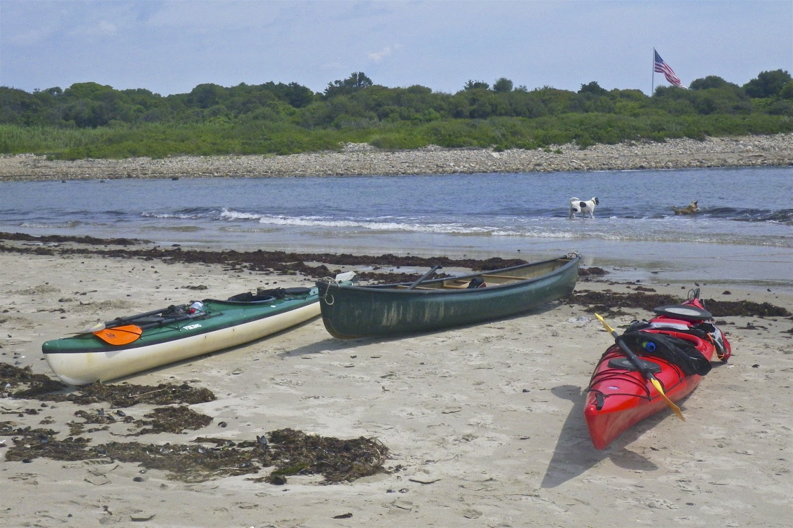
What do you do after spending two weeks at the beach in South County? Go back to the beach in South County! I could gone to trips at the Pemi/Woodstock in NH (too far to drive), or Tville in CT (do it all the time), but I decided to stay close to home and paddle the RICKA trip at the Narrow River instead.  We put in at the Pollock Avenue boat ramp and paddled down to the beach at the Narrows.  I surfed a couple of waves, and did a pretty good job of staying upright and leaning into the waves when I got turned sideways, but the boat still filled with water making it impossible to paddle.


Links:

Friday, July 27, 2018

Pea Soup Fog - No Paddling for Me - July 27, 2018

Pea soup fog this morning (even thicker than the usual pea soup fog that we have had), so no paddling for me this morning. That’s OK, it has been a great couple of weeks. Thanks to Jerry Vandiver for another great paddling song.

Thursday, July 26, 2018

Wickford Harbor – July 26, 2018

Smith's Castle (c. 1678)
The morning was cloudy, but the water was calm as I put-in to Wickford Harbor at Wilson Park. Wickford is located on the West Passage of Narragansett Bay, and is built around a large, well-protected harbor.

Wickford was established in the early 17th century when Roger William purchased land from the Narragansett Indians and established a trading post. In 1637, Williams sold the land to Richard Smith who constructed a large fortified house on the site, giving the house its nickname the “Castle”. That house was burned during King Philip's War, and the structure that can be seen from the put-in today was built in1678.

Wickford Cove with St. Paul's Church
While the backwaters around Rabbit Island and Cornelius Island looked interesting to explore, I headed out into Wickford Harbor as far as the breakwater, and then into Wickford Cove. With the exception of a couple of fishing boats, the marinas were quiet.

I continued down the cove toward the Boston Neck Road (Route 1A) Bridge. Wickford grew to become a major port and shipbuilding center, and today contains a large collection of 17th and 18th century homes that can be seen along the Cove. 


Cormorant at Poplar Point
Links

Wednesday, July 25, 2018

Around Ram Island – July 25, 2018

Horseshoe Point Cottage
I slept late (woke up around 6:30), and by the time I had my first cup of coffee pea-soup fog was rolling in. It was thick enough to set off the fire alarm in the cottage! Fortunately, it rolled out as fast as it rolled in, but it was still too late and too windy to try to paddle anything too ambitious, so I decided to take a trip around Ram Island. Paddling up the west side was easy, but paddling back down the east side into the wind was a bit of a slog. Always lots of birds to see along the way.

Cormorants at Moonstone Oyster farm
Links:

Tuesday, July 24, 2018

Jamestown Harbor and the Newport Bridge – July 24, 2018

Newport Bridge from the Dumplings
It was foggy as I put in at the East Ferry Boat Ramp in Jamestown. I headed south and hoped that that fog would lift by the time I reached the Dumplings so I could get some pictures of the Newport Bridge, and it did.  

The Newport Bridge was completed in 1969 and is the longest suspension bridge in New England. It spans the East Passage of the Narragansett Bay from Newport to Jamestown. The main span is over 1,600 feet long, and the road deck is more 200 feet above the water. The towers themselves are over 400 feet tall.

Clingstone - the "House on a Rock"
I was surprised at all the birds gathered on the Dumplings - a grouping of rocks just off Bull Point. The most prominent of the Dumplings is Clingstone or the "House on the Rock". This massive post and beam home was built in 1905 and has been recently restored.

In spite of the fog, the winds were light and the waves for only 1 to 2 feet - turned out to be great conditions for the trip.

The Wildfire poses for the picture from the Dumplings
Links: 

Monday, July 23, 2018

Point Judith Light – July 23, 2018

Point Judith Light and Coast
Guard Station from Camp Cronin
It was too windy to paddle, so I headed over to Camp Cronin to get some pictures of the waves. I ended up walking up the beach to the Point Judith Light.  

The Point Judith is located on the west side of Narragansett Bay and the eastern end of Block Island Sound. The confluence of these two waterways makes this a busy area for boat traffic, and there have been many shipwrecks over the years due to a treacherous ledge and frequent fog.

Point Judith Light with the oil house
and fog signal house
The first lighthouse was built on Point Judith in 1810. This wooden tower was destroyed in a severe hurricane in 1815. A 35-foot stone lighthouse was erected in it's place the following year. The new tower had a revolving light, which differentiated it from the nearby Beavertail Light.

In 1857, a new 51-foot octagonal brownstone tower was built. The upper half of the tower was painted brown and the lower half white. The oil house was added in 1917, and the fog signal house was added in 1923. 

Wave breaking on the East Jetty
of the Harbor of Refuge
Even with the light, wrecks continued to occur with regularity in the vicinity of Point Judith. In 1890, work was begun on over 3-miles of stone jetties to provide a secure breakwater refuge for ships. The east and west jetties were completed in 1890, and the Harbor of Refuge was completed in 1910 with the construction of the V-shaped center jetty.

The old lifesaving station was destroyed in a 1933 fire, and the existing Coast Guard station building was constructed in 1937. The station’s boats are kept in the Port of Galilee.

Point Judith Coast Guard Station
Links:

Sunday, July 22, 2018

Waves at Beavertail and Point Judith - July 22, 2018

No paddling today.  A storm came through with wind, rain and fog - the "no-paddling" trifecta. The storm did kick up some amazing waves.  We took a ride over to Jamestown to see the waves at Beavertail.


Waves at Beavertail from Erik Eckilson on Vimeo.

We could also see huge waves breaking across the West Passage at the Narrows, and across the East Passage at Brenton Point. We also went down to Camp Cronin around sunset to see the waves at Point Judith and the Harbor of Refuge - beautiful and scary at the same time.


Waves at Point Judith from Erik Eckilson on Vimeo.

Links:
My Pictures - Jamestown/Beavertail
My Pictures - Sunset at Camp Cronin