
 |
| Point Judith Light |
Even after construction of the Point Judith Light (c. 1810/1857) conditions remained treacherous at the tip of Point Judith and a Federal project was initiated to construct over 3-miles of jetties to provide a secure breakwater refuge for shipping. Work began in 1890 with construction of the east (3,640 feet) and west (2,240 feet) jetties, and was completed in 1910 with construction the V-shaped center jetty (6,970 feet). A 1,500-foot opening was left for the east passage, and a 1,200-foot opening was left for the west passage.
 |
| Across the east passage |
During World War II, much of the land on Point Judith was part of Fort Greene - named for Revolutionary war hero Nathanael Greene. Huge sixteen inch guns were located in the area now known as Fisherman's Memorial State Park to protect the west side of Narragansett Bay. Smaller fortifications were located along the shoreline. Fort Greene was part of a network of forts protecting Narragansett Bay including Fort Adams in Newport, Fort Greble on Dutch Island, Fort Weatherill in Jamestown, and Fort Hamilton on Rose Island.
 |
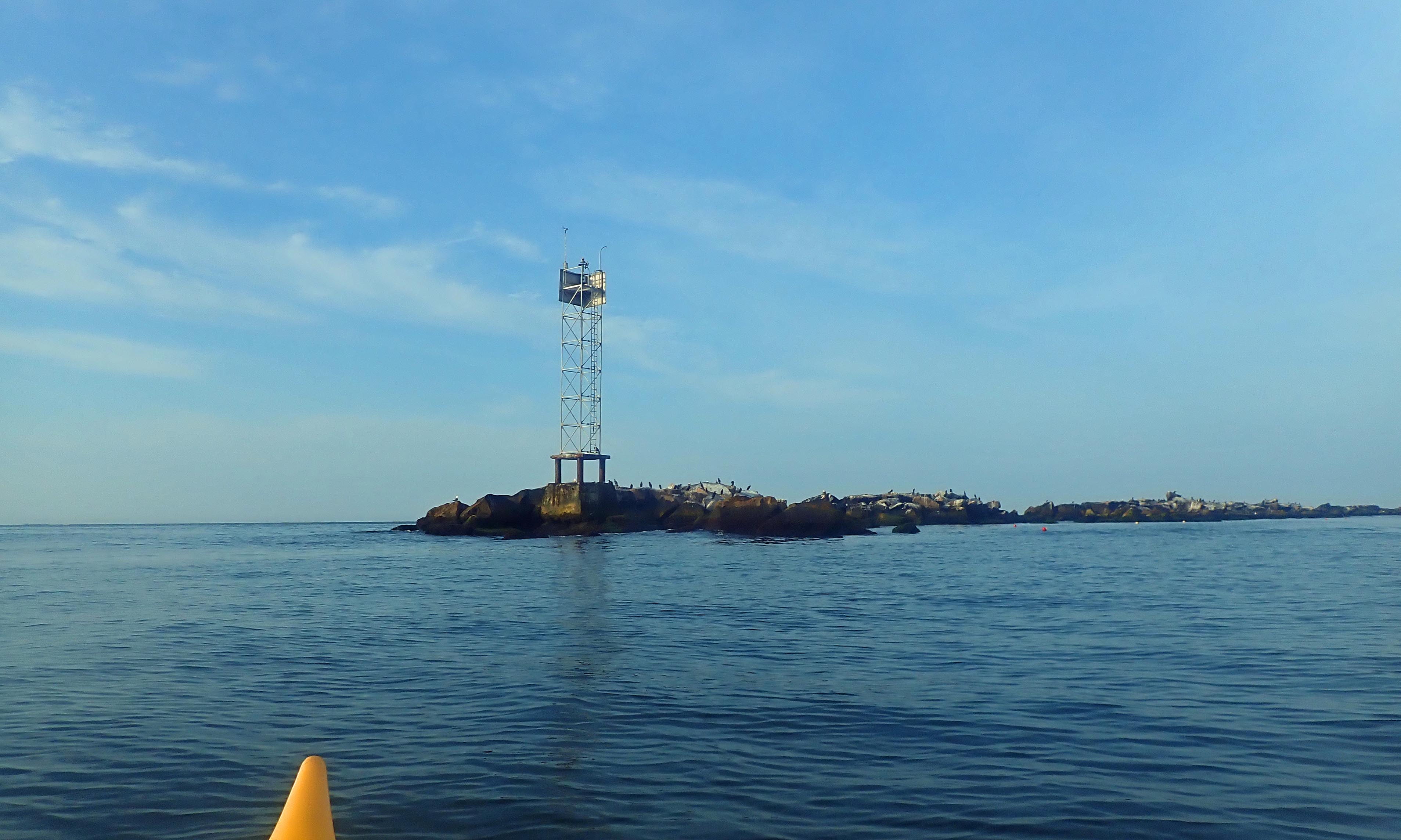
| Birds on the breakwater |
The east side of the center jetty is in much worse condition than the west, which has been rebuilt. Huge boulders have been pushed aside leaving large gaps in the seawall. It's hard to imagine that water can move those huge rocks. I paddled by the cormorants and other shore birds resting on the seawall out to the tip of the "V" in the center jetty before heading back.
 |
| Break at the top of the breakwater |


No comments:
Post a Comment
Note: Only a member of this blog may post a comment.